INTRODUCING
BOOKINGS ON WIKICAMPS
Bonnie Rock Townsite
 Point of Interest
Description
The Wheatbelt Way Site 13
Bonnie Rock is a townsite on the edge of the Eastern Wheatbelt, and was the terminus of the railway line through Beacon. The townsite was gazetted in 1932, its lateness due to the land around Bonnie Rock not being surveyed until 1928-29. The name was suggested by the district Surveyor, S Smith, in 1930 and was taken from a nearby rock.
The Bonnie Rock district was at its peak in 1934-35 with 119 ratepayers, two shops, a butcher, garage, a boarding house, railway and a large area cleared for a sports ground . By 1944, after a series of droughts and the Depression, there was no Bonnie Rock townsite as the ratepayers left and the only remaining building was the Town Hall. By 1949 there was only 29 ratepayers left in the district. The Town Hall still stands today and is used by the community as well as the sports area by the Bonnie Rock Horse and Pony Club.
Bonnie Rock is in the vicinity of Berinbooding Rock and Elachbutting Rock. It offers travellers a place to stop and rest on the way to these attractions. Ample sign posting indicates where the original streets were, with the main street being lined with the lot numbers of original owners.
Find this site and more on WikiCamps
Take the ultimate camping companion on your next trip, with these great features:
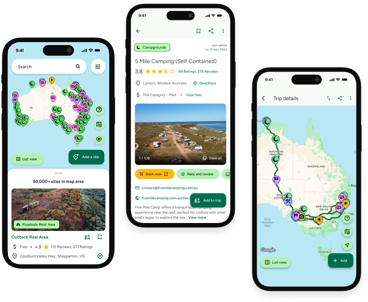
![]() Explore more than 60,000 sites across Australia with detailed site information at your fingertips
Explore more than 60,000 sites across Australia with detailed site information at your fingertips
![]() Stay in the know with exclusive, insightful reviews from fellow travellers
Stay in the know with exclusive, insightful reviews from fellow travellers
![]() Map journeys, plan your route, and gauge your fuel spend with Trip Planner
Map journeys, plan your route, and gauge your fuel spend with Trip Planner
![]() No signal? No worries! Use offline mode to travel anywhere with WikiCamps
No signal? No worries! Use offline mode to travel anywhere with WikiCamps
![]() Add sites to your collections, search with intuitive filters, and so much more...
Add sites to your collections, search with intuitive filters, and so much more...
Get WikiCamps now!
Download WikiCamps from the App Store on your device.

