INTRODUCING
BOOKINGS ON WIKICAMPS
Lunette Walk Track
Description
A lunette is a rare geological feature - a sand dune found on the edge of wetlands, formed by millennia of sand and soil movement across the swamps, creating a crescent moon shape. This walk showcases the spectacular views over Winton Swamp. This walking track is well marked. 3km return.
From the Mokoan Hub & Café head right along Lake Mokoan Road for 5.3km. Turn right onto Boggy Bridge Road and follow to the end of the road. At the intersection turn right on to Winton North Road. After 4km turn right at The Lunette entry, look out for the tall blue sign. Please be careful as the next 2.6km is not a formed track, you will be passing through grazing areas.
Please be aware this track is slippery when wet.
Remember if you pass through a gate that has been closed, shut it behind you.
Find this site and more on WikiCamps
Take the ultimate camping companion on your next trip, with these great features:
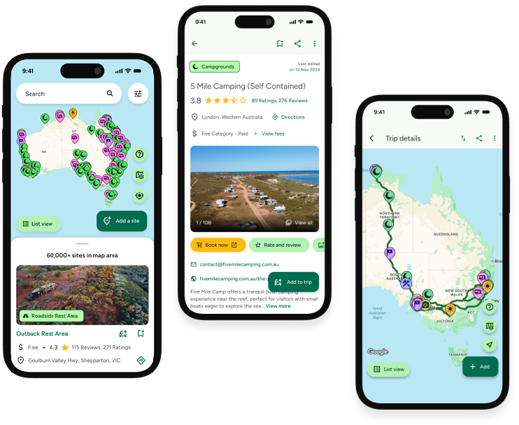
![]() Explore more than 60,000 sites across Australia with detailed site information at your fingertips
Explore more than 60,000 sites across Australia with detailed site information at your fingertips
![]() Stay in the know with exclusive, insightful reviews from fellow travellers
Stay in the know with exclusive, insightful reviews from fellow travellers
![]() Map journeys, plan your route, and gauge your fuel spend with Trip Planner
Map journeys, plan your route, and gauge your fuel spend with Trip Planner
![]() No signal? No worries! Use offline mode to travel anywhere with WikiCamps
No signal? No worries! Use offline mode to travel anywhere with WikiCamps
![]() Add sites to your collections, search with intuitive filters, and so much more...
Add sites to your collections, search with intuitive filters, and so much more...

Get WikiCamps now!
Download WikiCamps from the App Store on your device.

