INTRODUCING
BOOKINGS ON WIKICAMPS
Arm End Public Recreation Reserve
Description
Excellent walk with views to the end of the South Arm. Offers great views of Kingston and surrounding areas.
Park at the end of Spit Farm Road by the boom gate. Distance: 6km
A pleasant 2hr walk along a mown track through mostly open grassland with fantastic views of the Derwent estuary and kunanyi/Mount Wellington. There are secluded beaches, lots of bird life including wedge-tailed eagles and many rabbit burrows throughout the reserve so please watch your step. The area is rich in Aboriginal heritage and was part of the land of the Muriminina people prior to colonisation. The land was granted by colonial authorities to William Gellibrand who built a home on the property, cleared the land for farming and constructed his own tomb at Mary Ann Bay, which can still be seen. The track follows the coast of the peninsula passing Shelly Beach, Gellibrand Point, Mary Ann Bay and Mitchells Beach. There is an alternative inland route between Mary Ann Bay and White Rock Point that goes over the small hills in the reserve.
Dog friendly on leash.
Find this site and more on WikiCamps
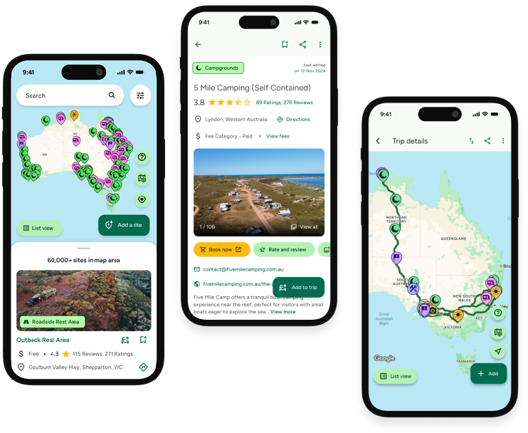
Take the ultimate camping companion on your next trip, with these great features:
![]() Explore more than 60,000 sites across Australia with detailed site information at your fingertips
Explore more than 60,000 sites across Australia with detailed site information at your fingertips
![]() Stay in the know with exclusive, insightful reviews from fellow travellers
Stay in the know with exclusive, insightful reviews from fellow travellers
![]() Map journeys, plan your route, and gauge your fuel spend with Trip Planner
Map journeys, plan your route, and gauge your fuel spend with Trip Planner
![]() No signal? No worries! Use offline mode to travel anywhere with WikiCamps
No signal? No worries! Use offline mode to travel anywhere with WikiCamps
![]() Add sites to your collections, search with intuitive filters, and so much more...
Add sites to your collections, search with intuitive filters, and so much more...

Get WikiCamps now!
Download WikiCamps from the App Store on your device.

