INTRODUCING
BOOKINGS ON WIKICAMPS
Beerburrum Summit Trailhead
Description
Two walks start from here:
Mount Beerburrum summit walk
Caution: 750m of steep, concrete track that can be slippery. Wear ankle-supporting shoes with good grip. Reasonable fitness requiredpace yourself.
Distance: 3.5km return
Time: Allow 1hr 30min
Details: The track from Beerburrum trailhead winds through wet eucalypt forest, up into drier open forest. After 1km, the track becomes a very steep, paved pathway, leading to a fire tower that offers good views. Mount Beerburrum's fire tower is used to detect and manage fires throughout the surrounding parks and forests. Mount Beerburrum is 280m above sea level.
Yul-yan-man track
Distance: 9km return
Time: Allow 34hr
Alternatively return via a short section of the Trachyte circuit and the Soldier Settlers trail section of the Shared trail (8.8km return). Also recommended as a one-way 6.7km walk to Tibrogargan trailheadorganise transport back to your car.
Find this site and more on WikiCamps
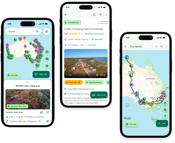
Take the ultimate camping companion on your next trip, with these great features:
![]() Explore more than 60,000 sites across Australia with detailed site information at your fingertips
Explore more than 60,000 sites across Australia with detailed site information at your fingertips
![]() Stay in the know with exclusive, insightful reviews from fellow travellers
Stay in the know with exclusive, insightful reviews from fellow travellers
![]() Map journeys, plan your route, and gauge your fuel spend with Trip Planner
Map journeys, plan your route, and gauge your fuel spend with Trip Planner
![]() No signal? No worries! Use offline mode to travel anywhere with WikiCamps
No signal? No worries! Use offline mode to travel anywhere with WikiCamps
![]() Add sites to your collections, search with intuitive filters, and so much more...
Add sites to your collections, search with intuitive filters, and so much more...

Get WikiCamps now!
Download WikiCamps from the App Store on your device.

