INTRODUCING
BOOKINGS ON WIKICAMPS
Emmagen Beach and Creek Inlet
Description
At the beach, the smooth rocks on the left reveal the mouth of Emmagen Creek. Most local beaches are sandy, but Emmagen is unique in that both banks are lined with water-eroded rocks, a result of the topography of short and steep catchment area and 4 metres of rain annually.
This 700 metre walk is a short stroll through some towering coastal rainforest to the mangroves at the mouth of Emmagen Creek. The track is flat, but can be rough in places due to tree roots. The views of Cape Tribulation are spectacular, the beach is rocky, but good for exploring, and the mouth of the creek lined with mangroves. Do not swim here as crocodiles may frequent the creek area. You can walk along the beach from here to Cape Tribulation if the tide is not too high around the rocks.
The Emmagen Beach walk leaves from the dirt road about five kilometres north of Cape Tribulation in Daintree National Park. You can reach there in a two wheel drive, but it is not wise to travel any further north. There is small carpark on the western side of the road. There is small carpark on the western side of the road a few hundred metres south of Emmagen Creek (opposite the huge fig tree). The track begins opposite the carpark, in behind the fig tree.
No camping or overnight parking.
Find this site and more on WikiCamps
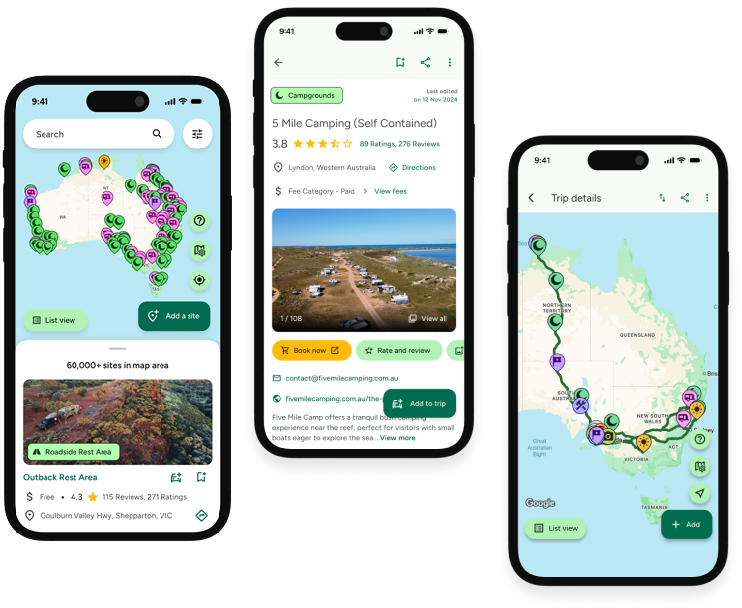
Take the ultimate camping companion on your next trip, with these great features:
![]() Explore more than 60,000 sites across Australia with detailed site information at your fingertips
Explore more than 60,000 sites across Australia with detailed site information at your fingertips
![]() Stay in the know with exclusive, insightful reviews from fellow travellers
Stay in the know with exclusive, insightful reviews from fellow travellers
![]() Map journeys, plan your route, and gauge your fuel spend with Trip Planner
Map journeys, plan your route, and gauge your fuel spend with Trip Planner
![]() No signal? No worries! Use offline mode to travel anywhere with WikiCamps
No signal? No worries! Use offline mode to travel anywhere with WikiCamps
![]() Add sites to your collections, search with intuitive filters, and so much more...
Add sites to your collections, search with intuitive filters, and so much more...

Get WikiCamps now!
Download WikiCamps from the App Store on your device.

